Conservation Bulletins New Series
Conservation Bulletins New Series (CBs (NS)), are short treatments of biological, agricultural or industrial subjects. The New Series began in 2009 as a continuation of the series that dates back to the beginning of the Conservation & Survey Division.
-
Aquifers of Nebraska 1 The Codell Aquifer in Northeastern Nebraska CB-7 (NS)
$10.00 -
Introduction to a Hydrogeologic Study CB-1(NS)
$12.00 -
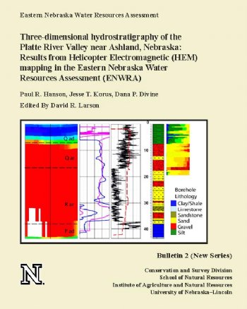
Three-dimensional hydrostratigraphy of the Platte River Valley near Ashland, Nebraska: Results from Helicopter Electromagnetic (HEM) mapping in the Eastern Nebraska Water Resources Assessment (ENWRA) CB-2(NS)
$12.00 -
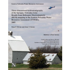
Three-dimensional hydrostratigraphy of the Sprague,Nebraska Area: Results from Helicopter Electromagnetic (HEM) mapping in the Eastern Nebraska Water Resources Assessment (ENWRA) 2009 CB-4(NS)
$12.00 -
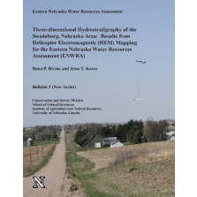
Three-dimensional Hydrostratigraphy of the Swedeburg, Nebraska Area: Results from Helicopter Electromagnetic (HEM) Mapping for the Eastern Nebraska Water Resources Assessment (ENWRA) CB-5(NS)
$12.00 -
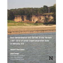
Basic Meteorological Data Derived 30-year Normals (1981 - 2010) of Actual Evaportranspiration Rates in Nebraska, USA CB-8(NS)
$8.00 -
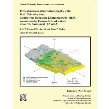
Three-dimensional hydrostratigraphy of the Firth, Nebraska Area: Results from Helicopter Electromagnetic (HEM) mapping in the Eastern Nebraska Water Resources Assessment (ENWRA) (CB-3 (NS))
$10.00 -
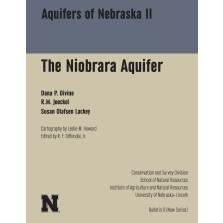
Aquifers of Nebraska II The Niobrara Aquifer CB-9(NS)
$15.00 -
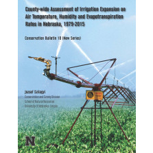
County-wide Assessment of Irrigation Expansion on Air Temperature, Humidity and Evapotranspiration Rates in Nebraska, 1979-2015 CB-10(NS)
$10.00