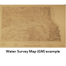
Water Survey Maps

Water Survey Maps, once called groundwater maps (GMs), show conditions related to the state's groundwater or surface water.
-

Base of Principal Aquifer, 1980 (GM-55.x)
$0.00 -
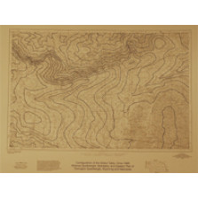
Configuration of the Base of the Principal Aquifer (GM-55a)
$2.00 -

Configuration of the Water Table - Spring 1979 (GM-54a)
$2.00 -
Configuration of Water Table, Circa 1995 (GM-54.x)
$0.00 -
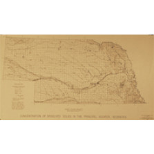
Concentration of Dissolved Solids in the Principal Aquifer, Nebraska (GM-49)
$8.00 -

Test Hole Location Map (GM-12)
$25.00 -

Nuckolls County Preliminary Ground Water Study 1947 and 1948 (GM-27)
$2.00 -

Irrigation Well Concentration Map (GM-3)
$20.00 -
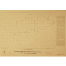
Groundwater Nitrate-Nitrogen Concentrations (GM-48.x)
$0.00 -
Thickness of Principal Aquifer, Nebraska (GM-53)
$8.00 -
Configuration of Base of Principal Aquifer, Nebraska, 1979 (GM-52)
$8.00 -

Configuration of the Water Table, Nebraska, 1979 (GM-51)
$25.00