Land Use and Land Cover Maps
Land Use and Land Cover Maps (LUMs) depict general or specific aspects of land use and/or land cover.
-
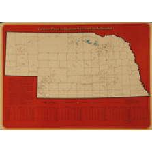
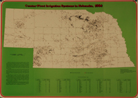
Center-Pivot Irrigation Systems in Nebraska (LUM-Center Pivot Maps)
$0.00 -
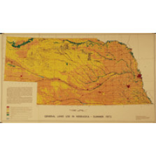
General Land Use in Nebraska, Summer 1973 (LUM-1)
$7.50 -
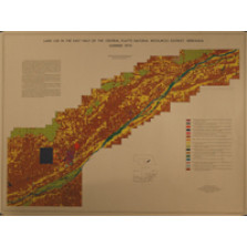
Land Use in the East Half of the Central Platte Natural Resources District, Nebraska, Summer 1974 (LUM-14)
$7.50 -
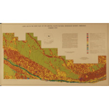
Land Use in the West Half of the Central Platte Natural Resources District, Nebraska, Summer 1974 (LUM-15)
$7.50 -
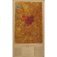
Land Use in Lancaster County, Nebraska, Summer 1973 (LUM-2)
$7.50 -
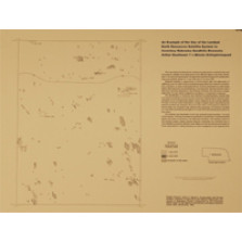
An Example of the Use of the Landsat Earth Resources Satellite System to Inventory Nebraska Sandhills Blowouts: Arthur Southeast 7.5 minute Orthophotoquad (LUM-25)
$7.50 -
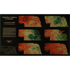
Vegetative Conditions in Nebraska, As Viewed by Satellite, 1987 Growing Season (LUM-29)
$8.00 -
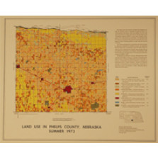
Land Use in Phelps County, Nebraska, Summer 1973 (LUM-3)
$8.00 -
Vegetative Conditions in Nebraska, As Viewed by Satellite, 1988 Growing Season (LUM-30)
$8.00 -
Groundwater Vulnerability to Contamination in Nebraska Using the DRASTIC Method (LUM-31)
$14.00 -
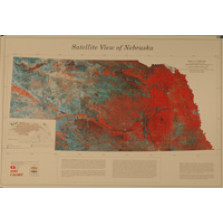
Satellite View of Nebraska (LUM-34)
$6.00 -
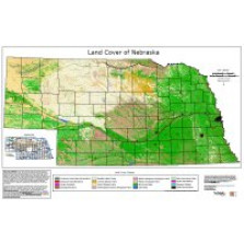
Land Cover of Nebraska (LUM-37)
$0.00