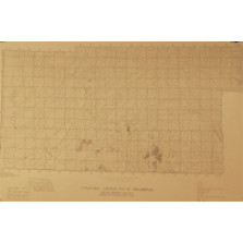
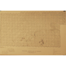
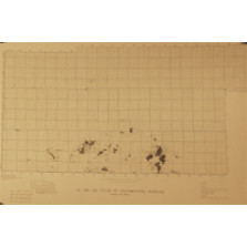
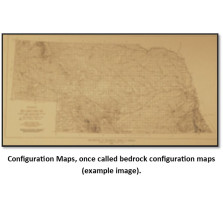
Configuration Maps
Configuration Maps, once called bedrock configuration maps (BCTs), show the contours of various rock layers. Many of these maps are print-on-demand, a copy is made from mylar, blue-line or cloth when the order is placed. Please allow additional time for delivery.
-

Thickness of Pennsylvanian in Southeastern Nebraska (BCT-15)
$15.00 -

Thickness and Distribution of Pre-Pennsylvanian Rocks (BCT-20.4)
$25.00 -
Structural Contour, Top of Precambrian (BCT-20.3)
$25.00 -
Structural Contour, Base of Greenhorn (BCT-20.2)
$25.00 -
Oil and Gas Fields of Southwestern Nebraska (BCT-20.1)
$25.00 -
Isopach and Structure Maps, Southwestern Nebraska; set of eight maps (BCT-20)
$50.00 -

Structure Contour Map, Top of Greenhorn (Cretaceous) and Base of Kansas City (Pennsylvanian), State (BCT-2)
$25.00 -

Configuration of Precambrian Surface in Southeastern Nebraska (BCT-19)
$25.00 -
Structural Contour, Top of Stone Corral (BCT-20.8)
$25.00 -

Thickness of Des Moines Series (Pennsylvanian), State (BCT-31)
$15.00 -

Generalized Structural Map - Base of Kansas City Group - Pennsylvanian System - In Nebraska (BCT-36)
$15.00 -

Structural Contour, Top of Permian System, State (BCT-21)
$15.00