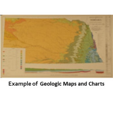
Geologic Maps and Charts

Geologic Maps and Charts (GMCs) show varied conditions related to the state's geology.
-

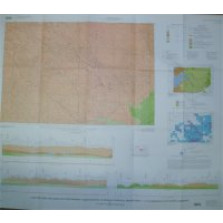
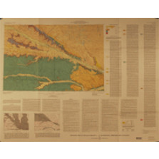
Geologic Map of the North Half of the Marsland 15-Minute Quadrangle (GMC-21)
$6.00 -
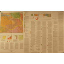
Bedrock Geologic Map Showing Thickness of Overlying Quaternary Deposits, Lincoln Quadrangle and Part of Nebraska City Quadrangle, Nebraska and Kansas (GMC-37)
$25.00 -

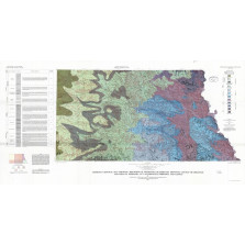
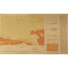
Quaternary Geologic Map of the Des Moines 4 X 6 Quadrangle, United States (GMC-36)
$12.00 -

Seismotectonic Maps of Eastern Nebraska and Parts of Iowa, Kansas, and Oklahoma -- Relief map (GMC-23.1)
$25.00 -
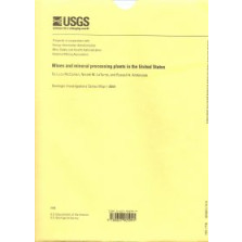
Mines and Mineral Processing Plants in the United States (GMC-33)
$25.00 -
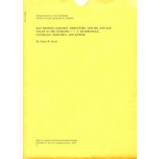
Geology, Structure, and Oil and Gas Fields in the Sterling 1x2-degree Quadrangle, Colorado, Nebraska and Kansas (GMC-32)
$8.50 -
Geologic Maps and Cross Sections Showing Configuration of Bedrock Surfaces, Broken Bow 1 x 2 Degree Quadrangle, East-Central Nebraska (GMC-31)
$8.50 -
Geologic Map of the Scottsbluff 1 x 2 Degree Quadrangle, Nebraska and Colorado (GMC-30)
$12.00 -

Geologic Bedrock Map of Nebraska (GMC-3)
$25.00 -
Quaternary Geologic Map of the Platte River 4 x 6 Degree Quadrangle, United States (GMC-27)
$8.50 -
Geologic Map Showing Configuration of the Bedrock Surface, North Platte 1 x 2 Degree Quadrangle, Nebraska (GMC-26)
$8.50 -
Seismotectonic Maps of Eastern Nebraska and Parts of Iowa, Kansas, and Oklahoma -- Precambrian rock type map (GMC-23.9)
$25.00