Water Survey Maps

Water Survey Maps, once called groundwater maps (GMs), show conditions related to the state's groundwater or surface water.
-

Inferred Areal Extent of the Oligocene (White River Group) Chadron Basal Sand; Nebraska High Plains-Ogallala Aquifer Study Area (GM-52.1)
$2.00 -
Areas Where Brule Formation is Used as Aquifer, Nebraska High Plains-Ogallala Aquifer Study Area. 8.5 x 11" (Date and Author unknown) (GM-52.2)
$2.00 -

Pre-Tertiary Subcrop Rocks in the Nebraska Panhandle, Nebraska High Plains-Ogallala Aquifer Study Area. 8.5 x 11" (Date and Author unknown) (GM-52.3)
$2.00 -
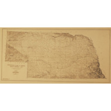
Thickness of Principal Aquifer, 1980 (GM-56.x)
$0.00 -
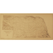
Transmissivity of the Principal Aquifer, Nebraska (GM-65.x)
$0.00 -
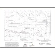
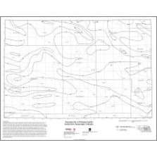
Transmissivity of the Little Blue River Area (GM-66)
$30.00 -
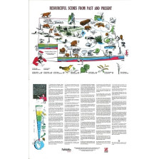
Resourceful Scenes From Past and Present Poster (GIM-2a)
$4.00 -
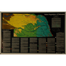
Native Vegetation Map of Nebraska (GIM-54)
$10.00 -
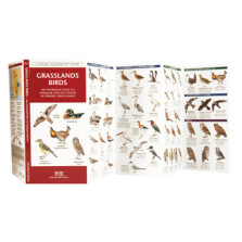
Grasslands Birds
$6.95 -
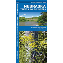
Nebraska Trees & Wildflowers
$7.95 -
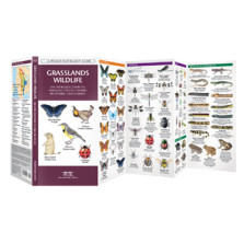
Grasslands Wildlife
$7.95 -
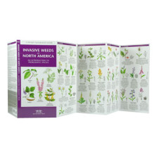
Invasive Weeds of North America
$7.95