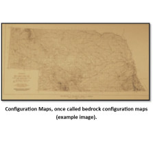
Configuration Maps
Configuration Maps, once called bedrock configuration maps (BCTs), show the contours of various rock layers. Many of these maps are print-on-demand, a copy is made from mylar, blue-line or cloth when the order is placed. Please allow additional time for delivery.
-

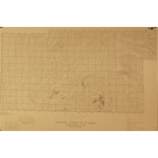
Configuration of the Pre-Tertiary (Principally Pre-Chadron) Surface in Part of Western Nebraska (BCT-9)
$15.00 -

Early Tertiary (Principally Pre-Chadron) Drainages and Divides, with Locations of Oil and Gas Fields in Part of Western Nebraska (BCT-11)
$5.00 -

Configuration of Pre-Pleistocene Bedrock Surface of Southeastern Nebraska (BCT-12)
$25.00 -

Thickness of the Pennsylvanian Missouri Series of Southeastern Nebraska (BCT-13)
$15.00 -

Structural Contour, Base of Pennsylvanian Hertha Limestone in Southeastern Nebraska (BCT-14)
$25.00 -
Structural Contour, Top of Admire (BCT20.7)
$25.00 -
Thickness of Pennsylvanian Des Moines-Atokan Series in Southeastern Nebraska (BCT-16)
$15.00 -
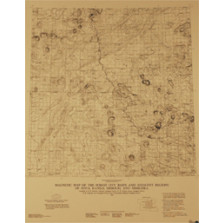
Magnetic Map (BCT-35.5)
$25.00 -

Thickness of Pre-Pennsylvanian Sediments in Southeastern Nebraska (BCT-18)
$15.00